Fall Colors on Taylor Road (20100925)
v scroll down
v
It was 'fall colors'
time, and I was on my own for the day.
So, I took Sandi up to Taylor Rd. to check out some Aspens.
Here's the Trail Damage page for this trail
(LINK).
They refer to it as 'Bright Trail', but it's actually Taylor Road (or 'Taylor
Mountain Road'),
and never travels on the 'Bright Trail'; it passes by it at about the 2/3 point
on this trail.
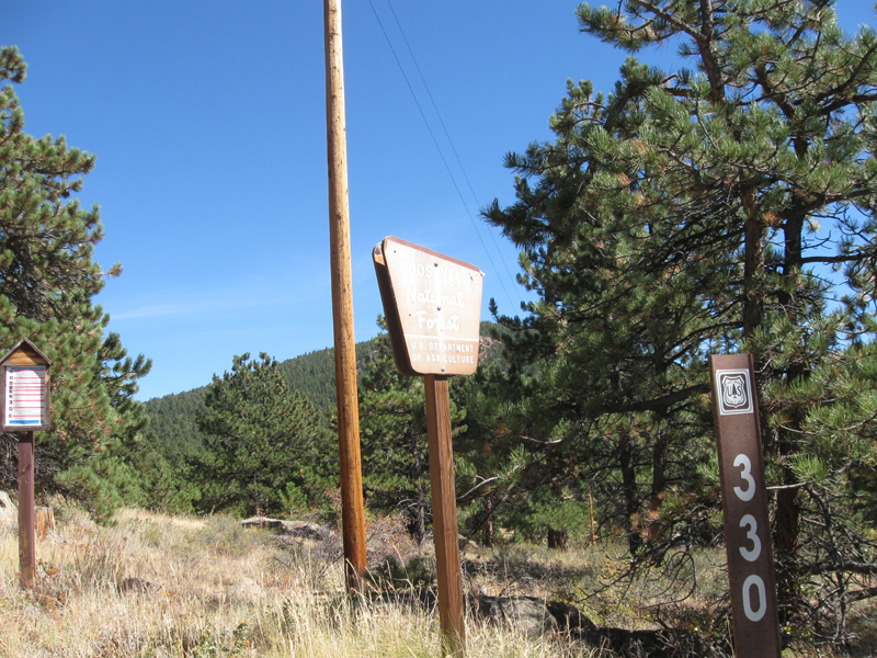
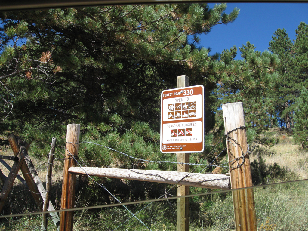
Here's Boulder Ranger District's page about this trail (LINK).
Here's another page about this trail on a different website (LINK),
and here are some pages about the 'Bright Trail' hiking trail (1,
2,
3,
4 &
5).
Here's
the link to the
thread about this solo trail run on the forum.
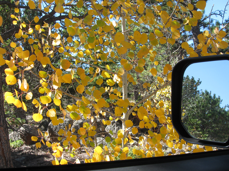
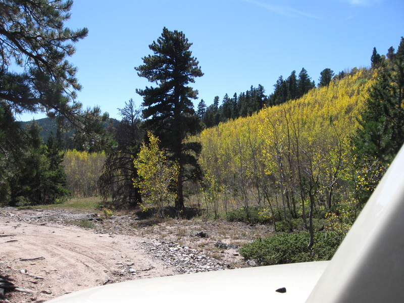
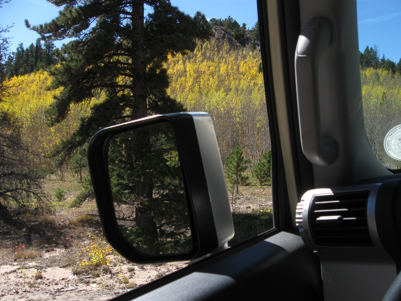
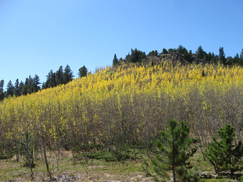
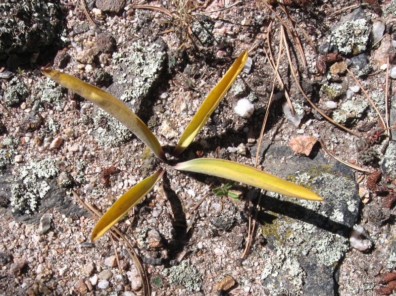
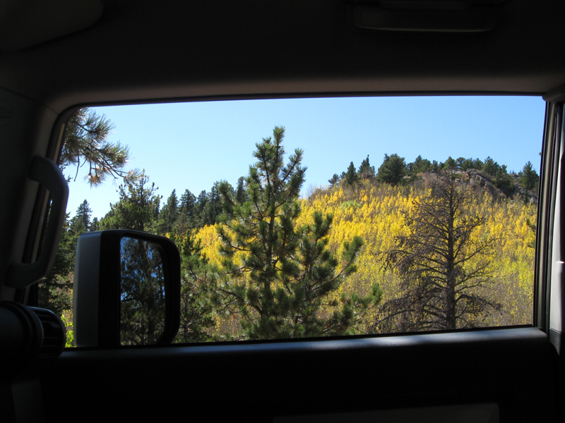
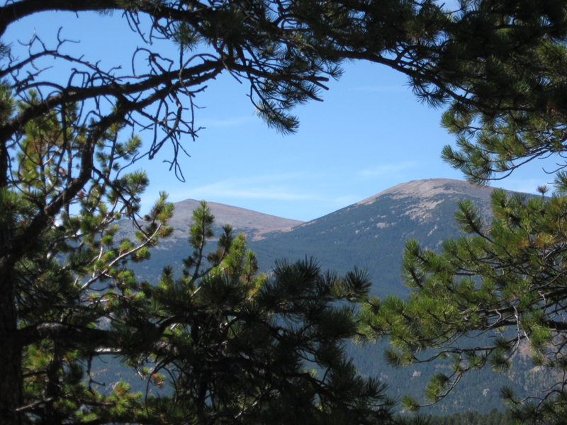
As I mentioned, it's 'fall colors' time. So, many of these photos are just that ....checking out
the beauty along the way.
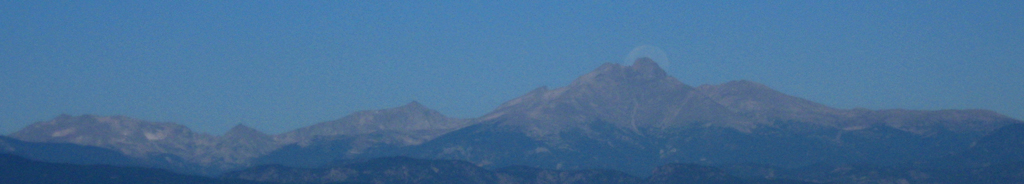
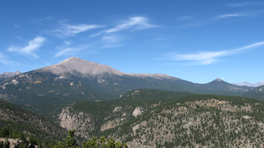
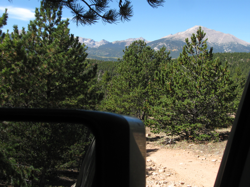
To start out the day, I noticed the moon setting behind Mt. Meeker and Long's
Peak as I got on the road; within a mile from home.
Once I got up to the Peak to Peak
highway, I decided to first go check out the fall colors on Taylor Road;
fully intending to continue on to another trail after that.
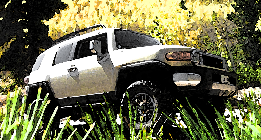
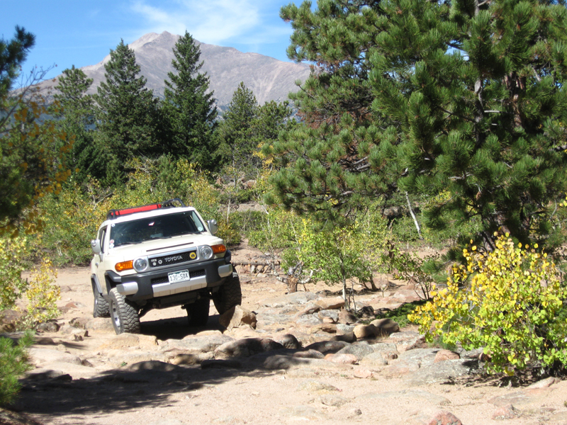
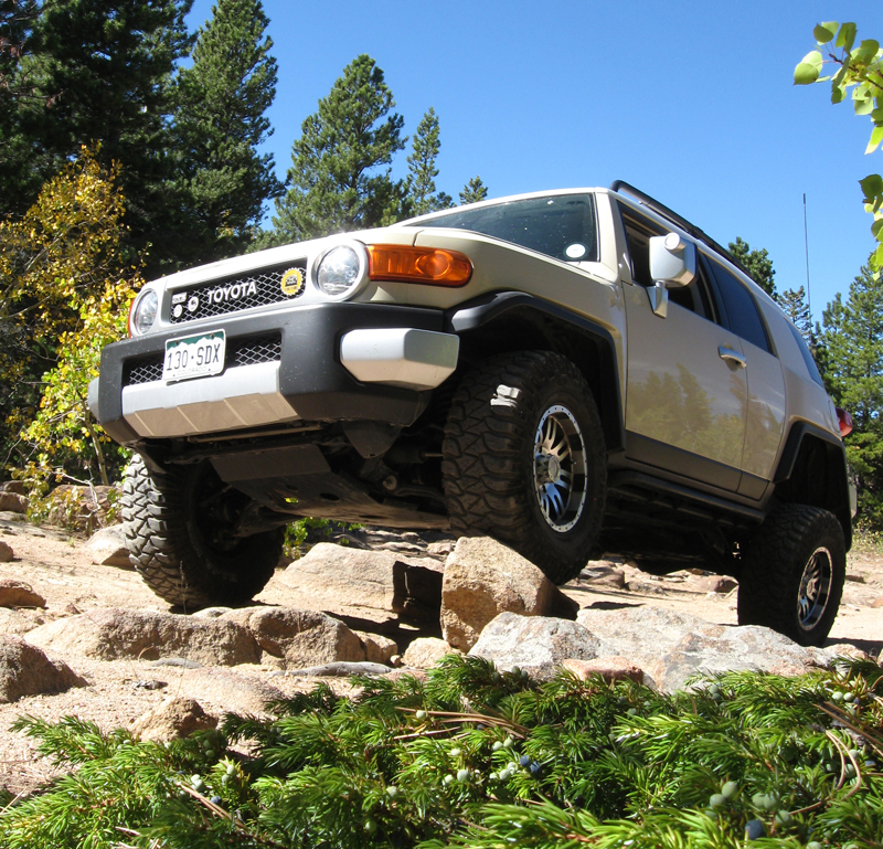
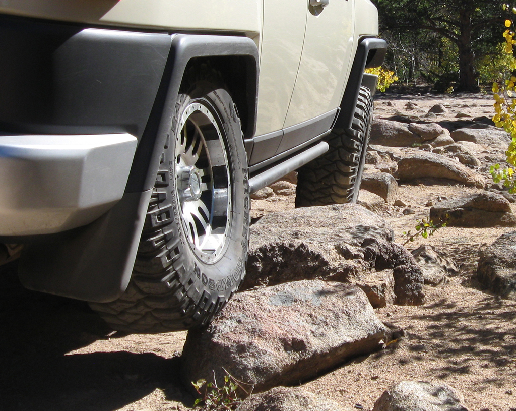
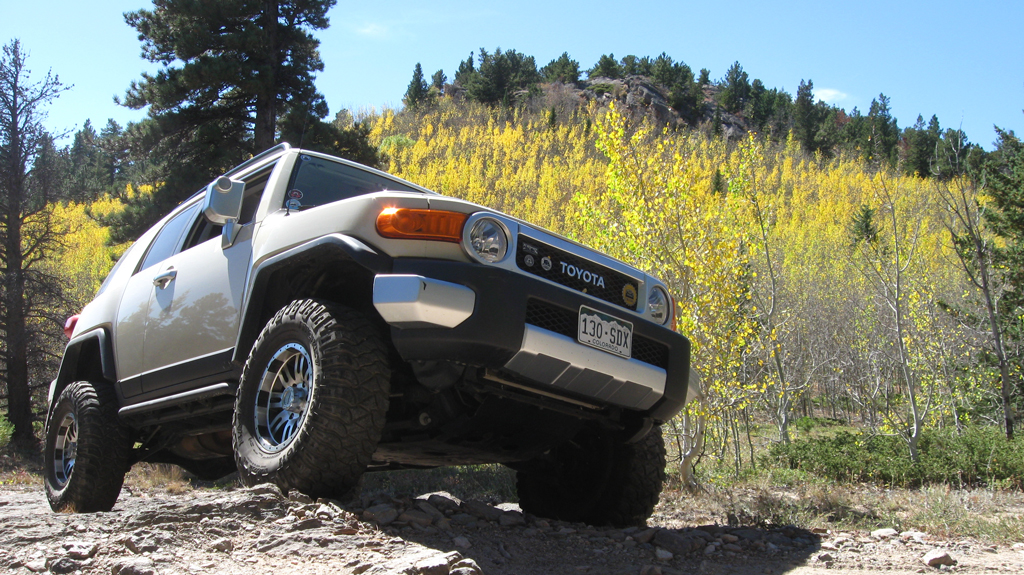
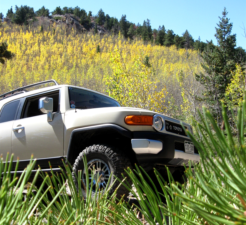
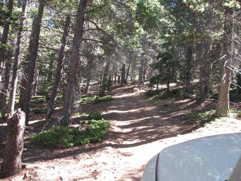
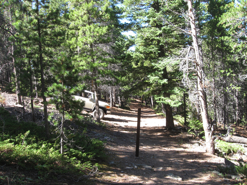
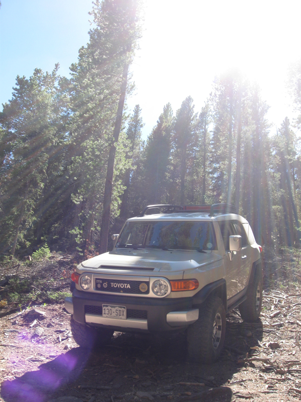
Here's the entrance to the 4WD section of Taylor Rd.
Every other time I'd been on this trail, I stopped at the 'overlook' area, and
skipped going all the way to the end.
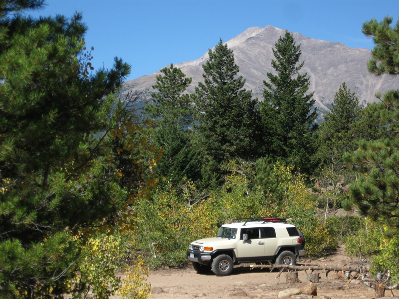
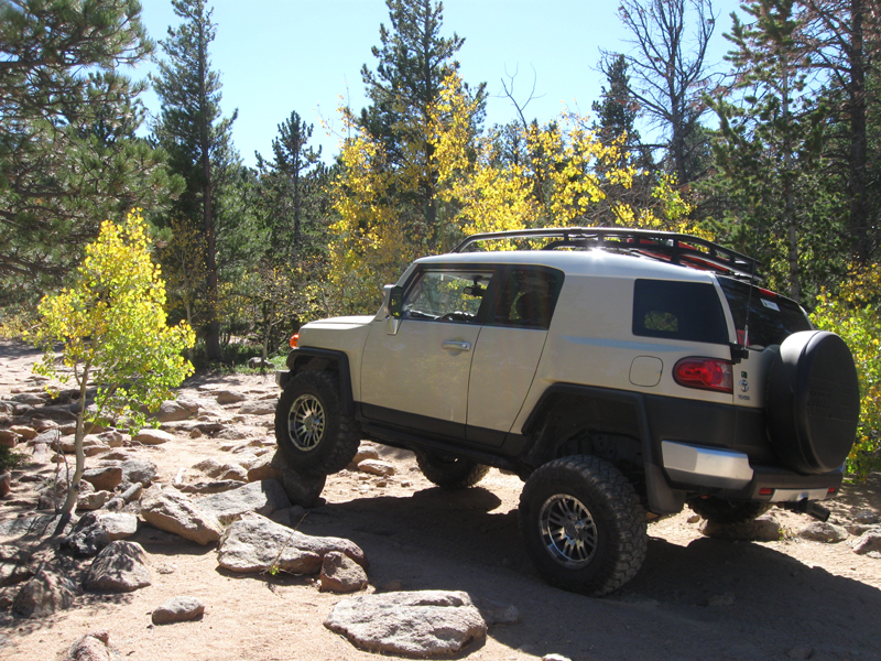
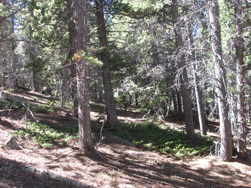
This time, I just kept going, and this is where I got to at the end of the
trail; an opening in the woods,
complete with rock obstacles to play around on, a fire pit area for when there
isn't a fire ban,
and plenty of room for parking and camping.
I stopped off at
the 'overlook' spot on my way back out, and here are a couple shots from
there...
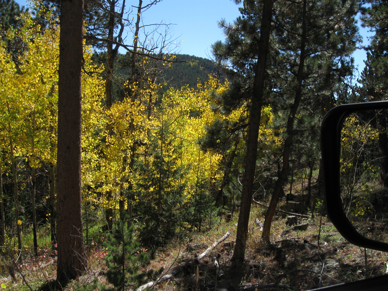
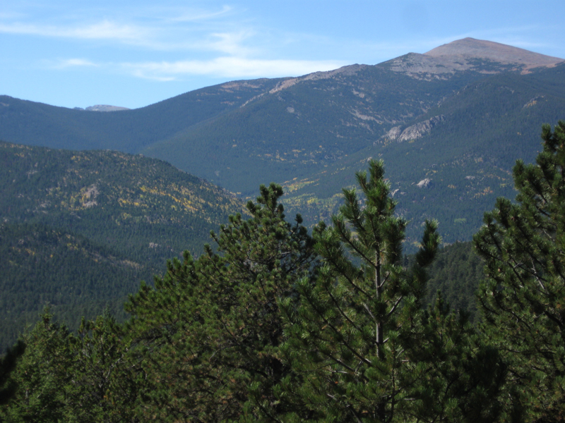
This is the big Aspen grove along the way. It was ~90% turned and 40% fallen.
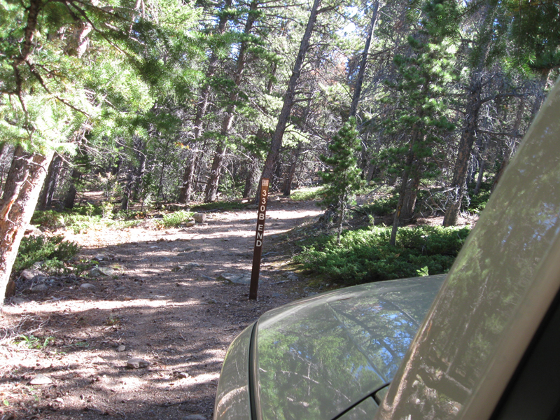
I did something else new this time too. On my way back out, I took a detour and
went all the way on 330 B
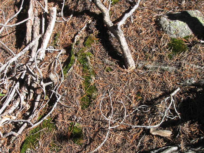
I like moss. So, whenever I see some like this, I snap a shot.
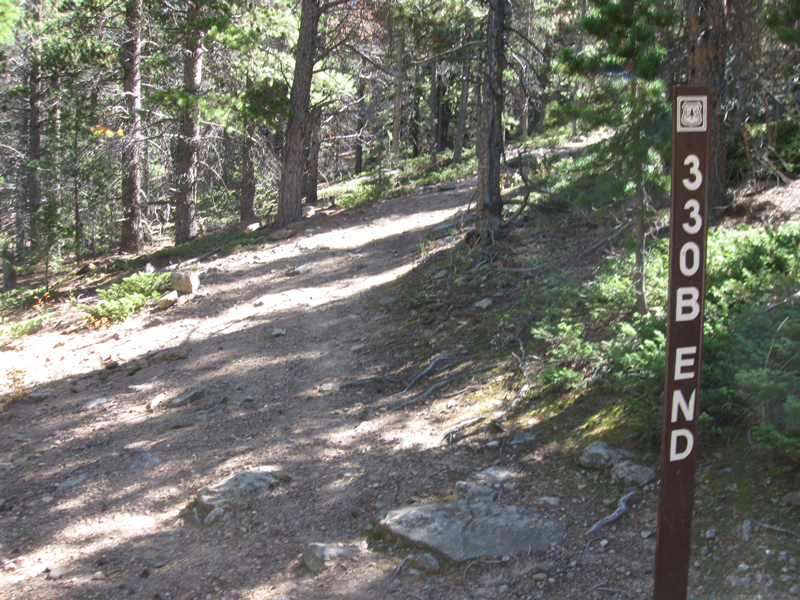
At the end of the 4WD road 330 B, the trail (center) continues, but it's only
wide enough for hiking on foot.
I had to back up the hill to turn around
It was obvious this was why they had cleared a section of trees away right here.
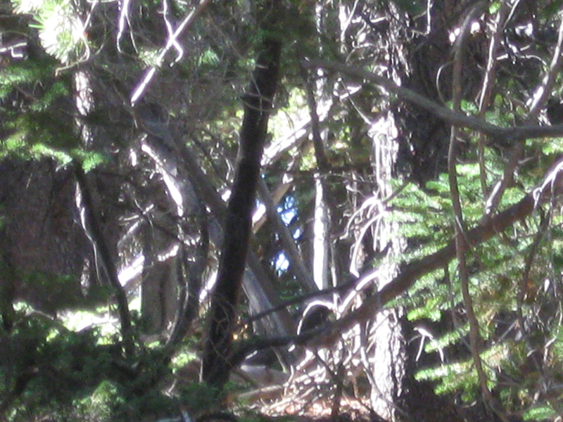
Something interesting here was a blue thing of some sort off in the woods
(~center).
I couldn't tell what it was, and wasn't about to wander out there this time, but
I took a couple shots.
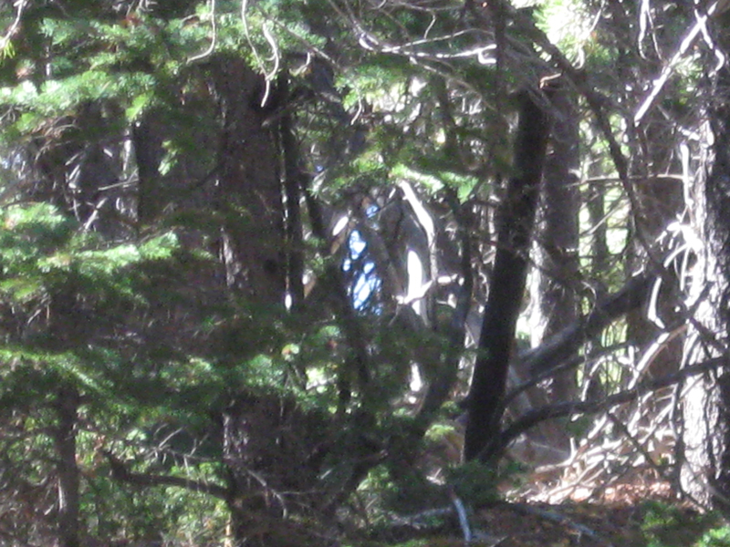
...still have no idea...might have been a tent, but couldn't see well enough to
say for sure.
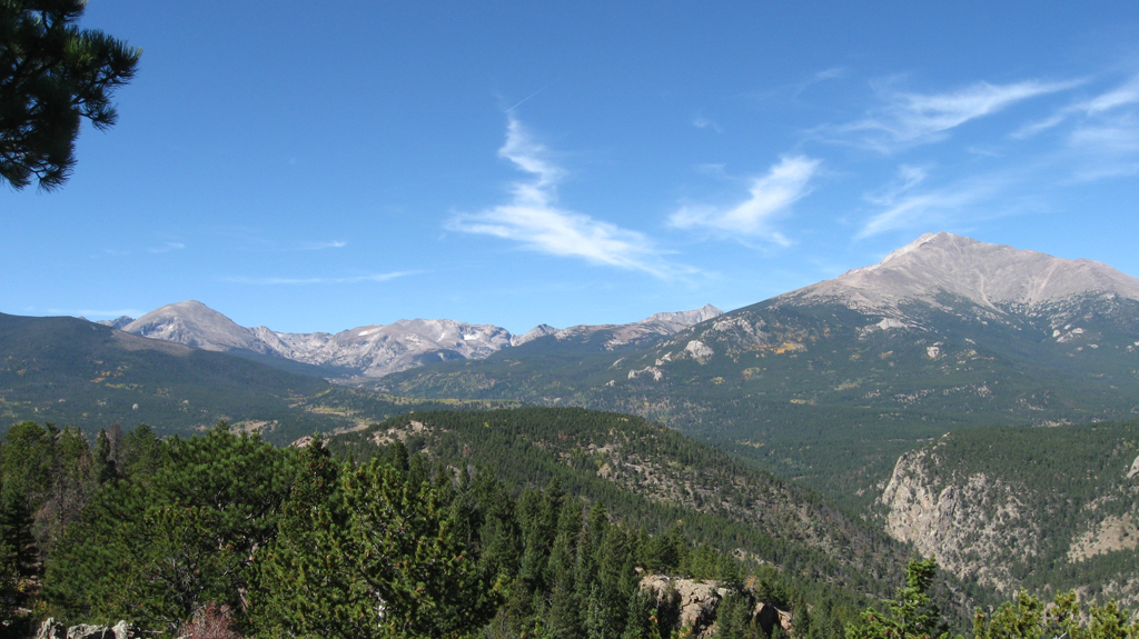
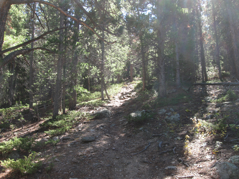
On my way back to 330, I saw some of the views that I missed going the other
direction.
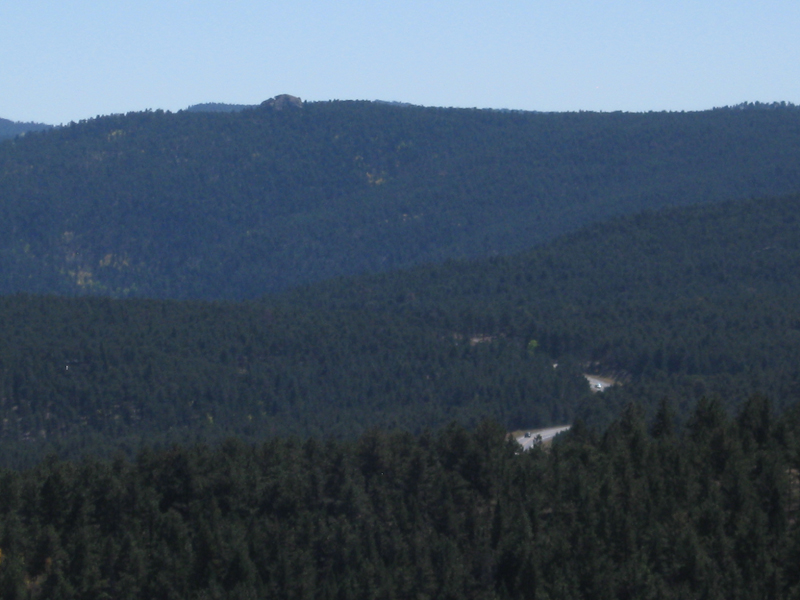
I think this one is kinda neat....in this view you can see vehicles traveling
along on the Peak to Peak highway,
and Miller Rock in the distance (the rocky knob at ~top-left)
(a place we hike to a lot, and have gone on two trail runs;
1 &
2).
That was all for this trip to Taylor Road, and that was also the end for me that
day.
After this, it was time to just go home. :)