Colorado Western Slope and FJ Summit
Vacation (20100716-25)
16 Fri
17 Sat
18 Sun
19 Mon
20 Tue
21 Wed
22 Thu
23 Fri
24 Sat
25 Sun
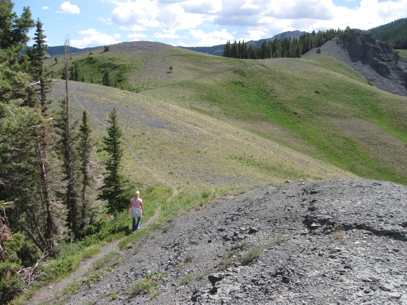
Monday, July 19th, 2010 - a Hike to the Grassy Meadow above Ouray
The first thing we did when we got up there was hike further West, over to some
rocks that provided a great overlook spot.
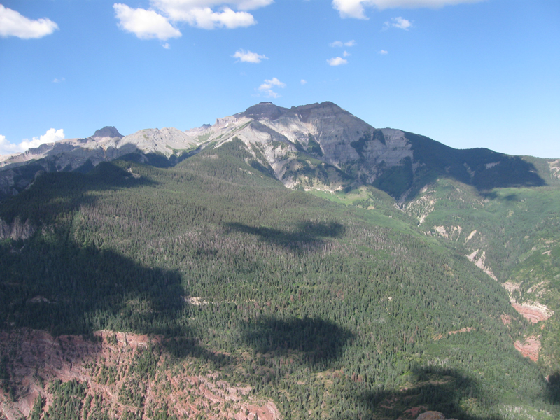
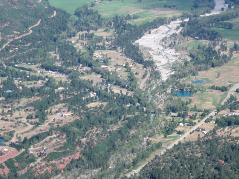
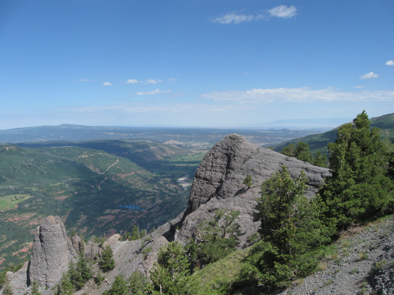
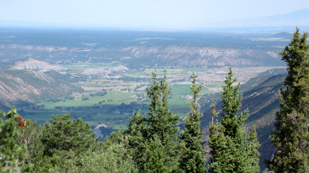
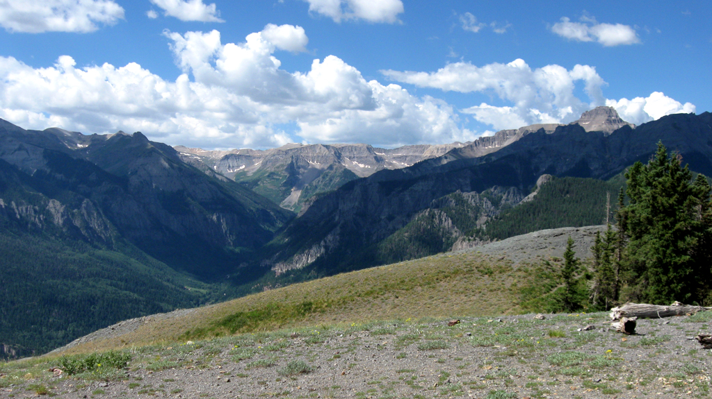
Here's the view to the North, up the Uncompahgre River Valley
If you look closely, you can see the Grand Mesa (the dark sliver near the
upper-right corner).
The lake in the foreground is Lake Lenore on county road 14),
and the light colored, squiggly line going up from there is Ouray County Road 14a (or OCR14a for short).
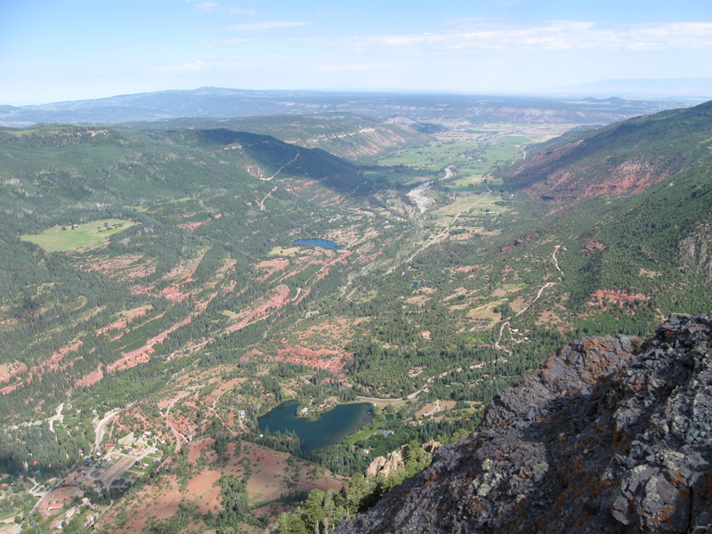
In this photo, you can see the Ouray KOA; near center.
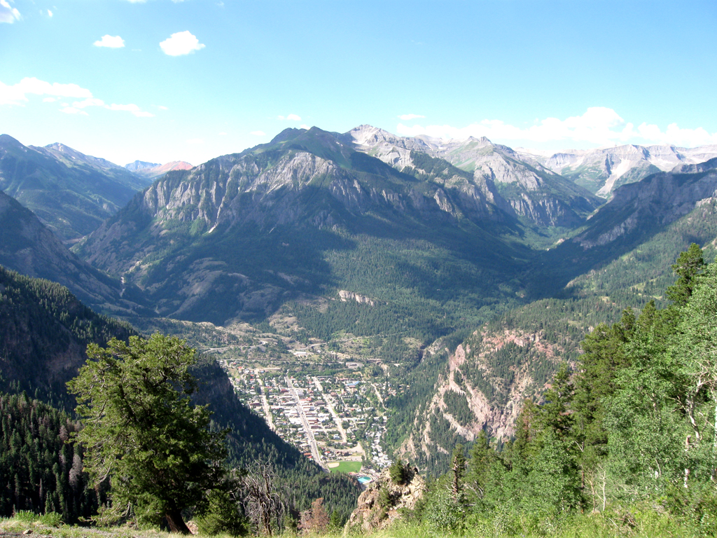
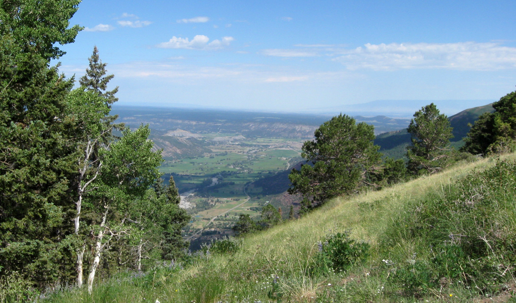
Looking South, you can see the greater Ouray area.
If you go
here, you can see a few things in the area pointed out for reference.
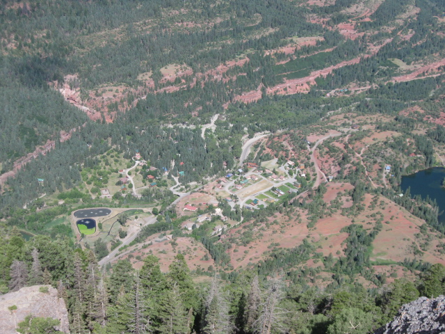
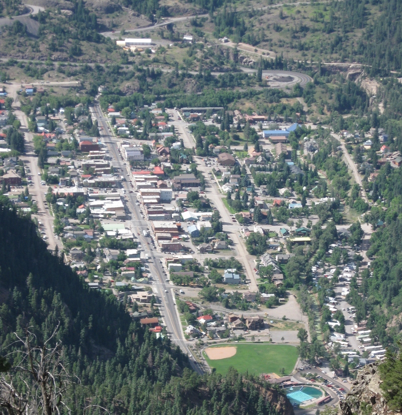
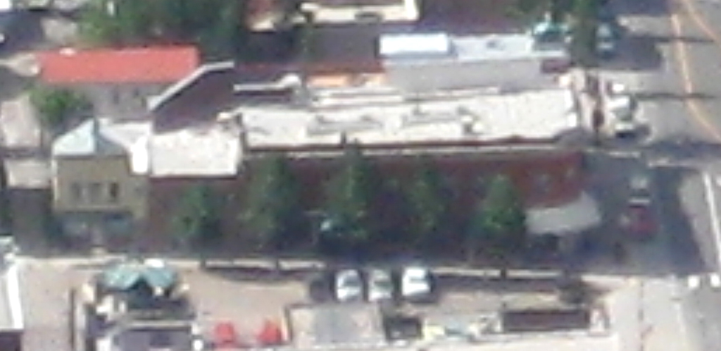
Closer in on the town of Ouray
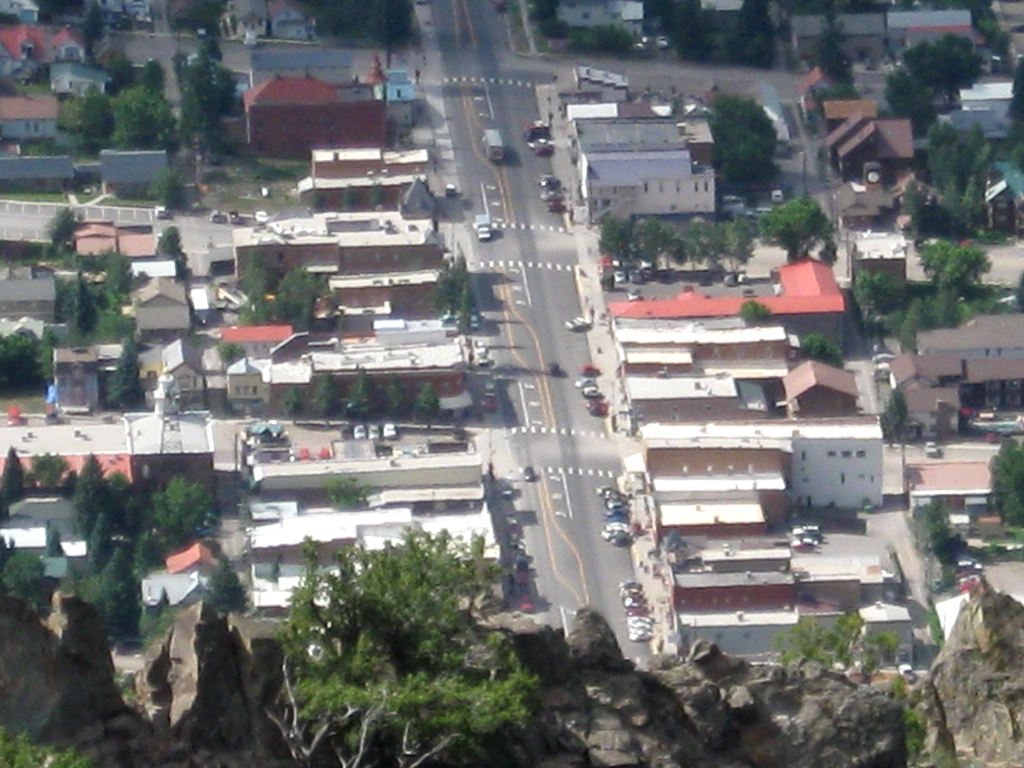
...and here's closer in on downtown
.....then, just because it's my web
page and I can do whatever I want ( doh!! :P )
here's the Ouray Hotel; easily distinguishable , even from way up here, by the
five trees along the sidewalk on the North side of the building.
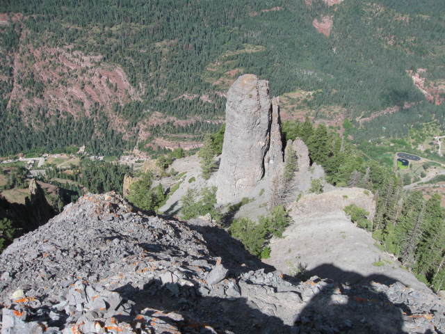
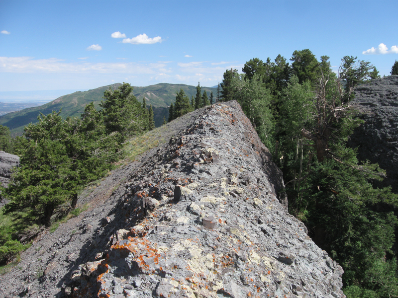
There's the rock we were on to get the great overlook photos
finally, here's a photo of the grassy meadow
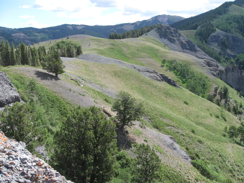
We walked out on this skinny thing for another vantage point
JammerGirl with the mountains South of Ouray in the background

One last look Northward as we start to head back to the trail
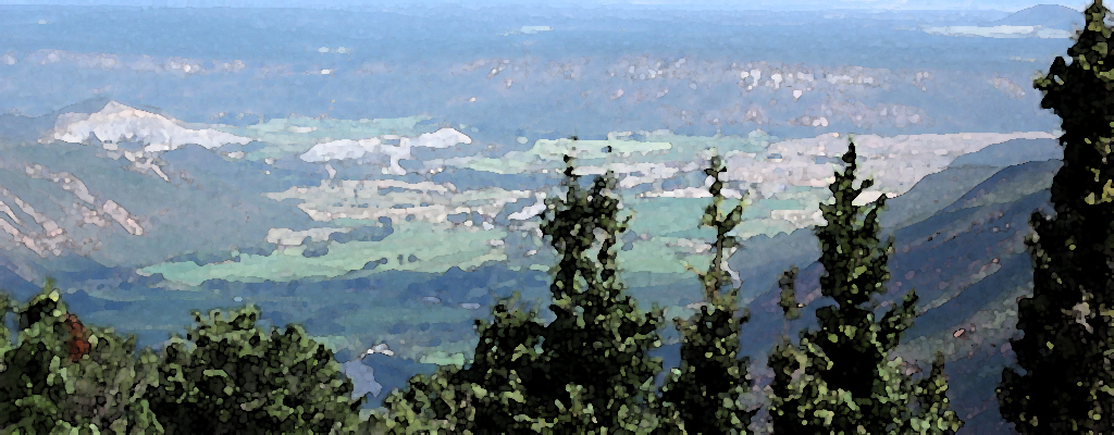
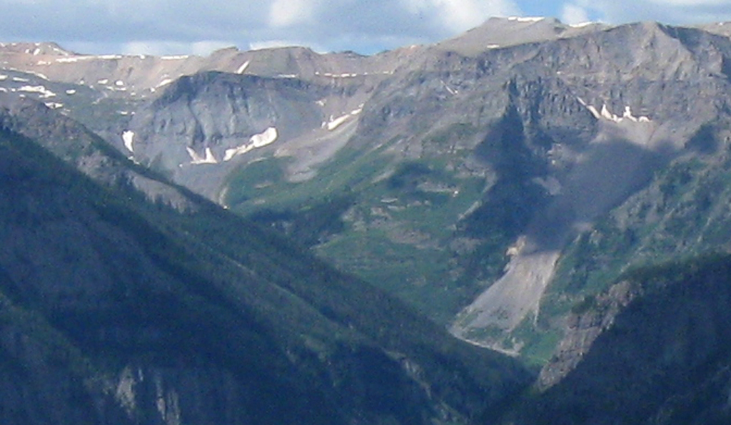
It's there in other photos above as well, but the western slope of the Grand Mesa is much more evident here.
Google maps | Wikipedia
It's the line that extends from the right side of the photo out to about a third of the way toward the left;
way in the background.
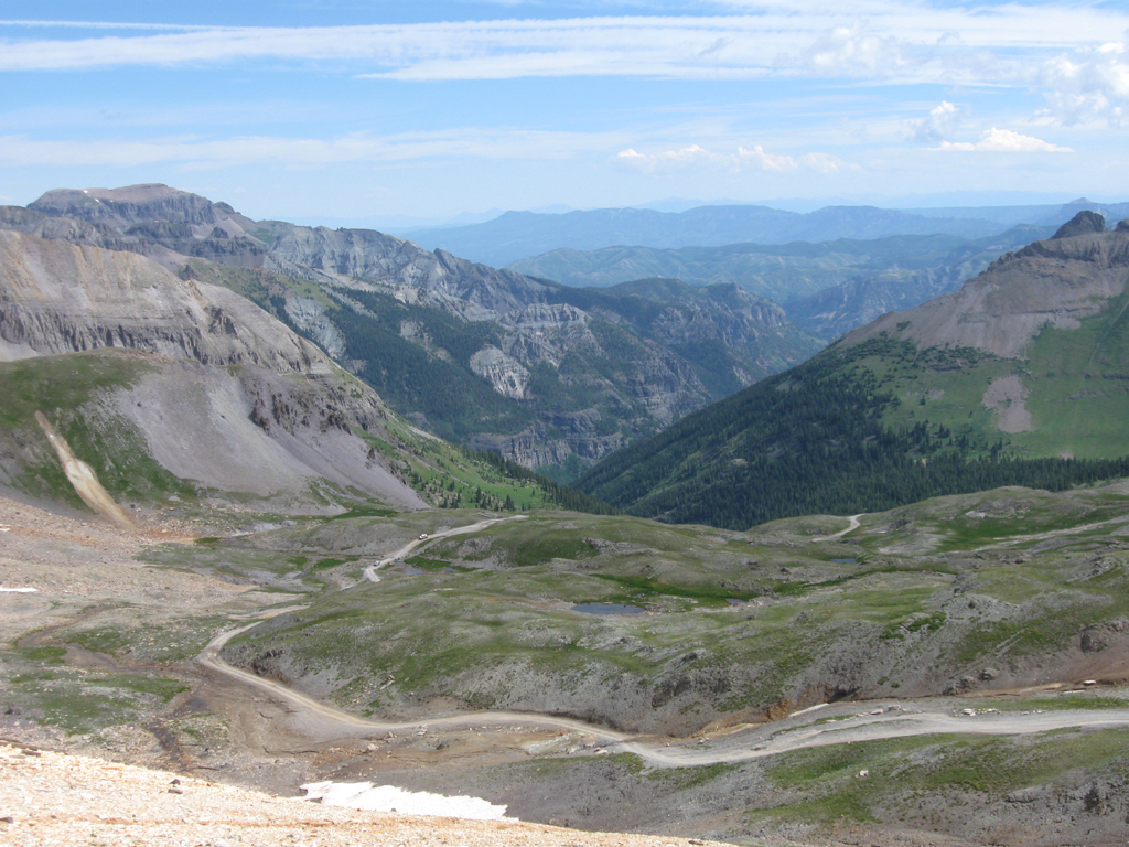
Here's the view to the South-west
In this crop from the last image above, you can see Imogene Pass Rd. (the
light-colored line near lower-right, at the bottom of a skree slope)
and the pass summit itself way over to the left (just to the right of the
farthest left mountain peak, and just above the snow line).
(See
this page for a look back here from Imogene Pass summit)
Oh....here's the view from Imogene Pass summit...
The place we're at on this hike is at the left edge of the furthest right third
of this photo; just above the slope of the near mountain.
here it is zoomed in a bit...
it was nice to be able to get both downtown Ouray and Imogene Pass summit in the
same photo
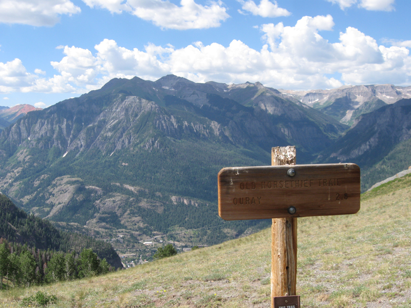
Here's the sign for 'Old Horsetheif Trail', another way up to this spot from
right down in town.
Next, we headed back down the trail --->
here <---
16 Fri
17 Sat
18 Sun
19 Mon
20 Tue
21 Wed
22 Thu
23 Fri
24 Sat
25 Sun